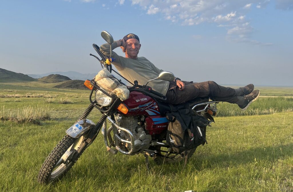
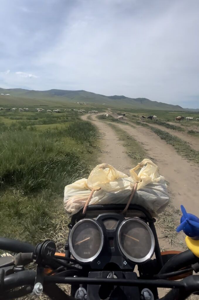
One of the strangest things about riding a motorbike in Mongolia is that there often aren’t really any roads. Or at least, not in the way you expect. Instead of clear signs and defined routes, you’re usually following tracks, directions, or just a general line across the landscape.
At first it feels a bit uncertain. But after a few days, it starts to make sense and becomes part of the adventure.
Roads That Don’t Always Look Like Roads
Outside major highways, many routes in Mongolia are:
- dirt tracks
- gravel paths
- sandy trails
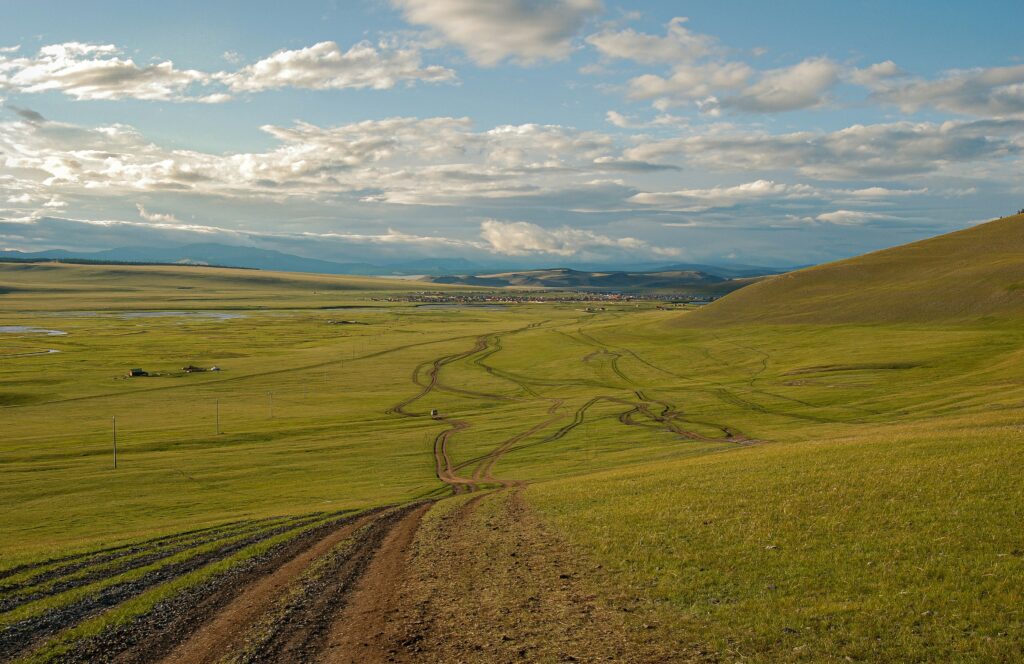
- or simply parallel tyre lines across open grassland
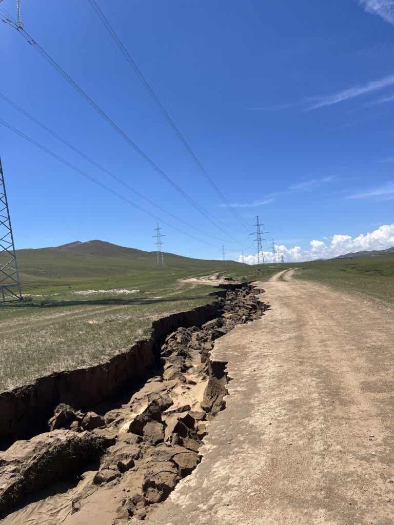
Sometimes several tracks run in the same direction. Locals often create new tracks when older ones become too rough or muddy. This means that navigation apps may show a “road” that looks very different in reality. After a few days, you stop worrying about being exactly on the “right” road and start reading the landscape instead.
Using Offline Navigation Apps
During my trip, offline navigation apps were very useful.
I mainly used Maps.me. It worked surprisingly well most of the time, but not always.
Some tracks on the map didn’t exist anymore, and sometimes there were tracks that weren’t on the map at all.
Before leaving Ulaanbaatar, it is important to:
- download the full offline map
- check potential fuel stops
- mark important towns or landmarks
Mobile coverage is usually available in towns and villages but can disappear quickly in remote regions. Because of this, relying only on online navigation is not a good strategy. Make sure to bring a paper map too.
Satellite View for Route Planning
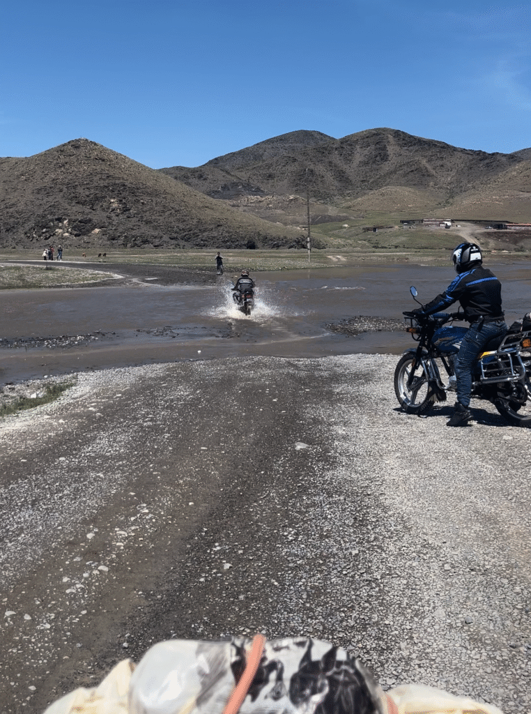
Another useful technique is studying satellite imagery before the trip.
Using satellite view helps you:
- identify river crossings
- understand terrain changes
- locate remote landmarks
- estimate possible camping areas
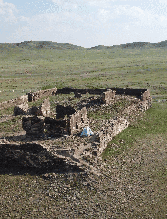
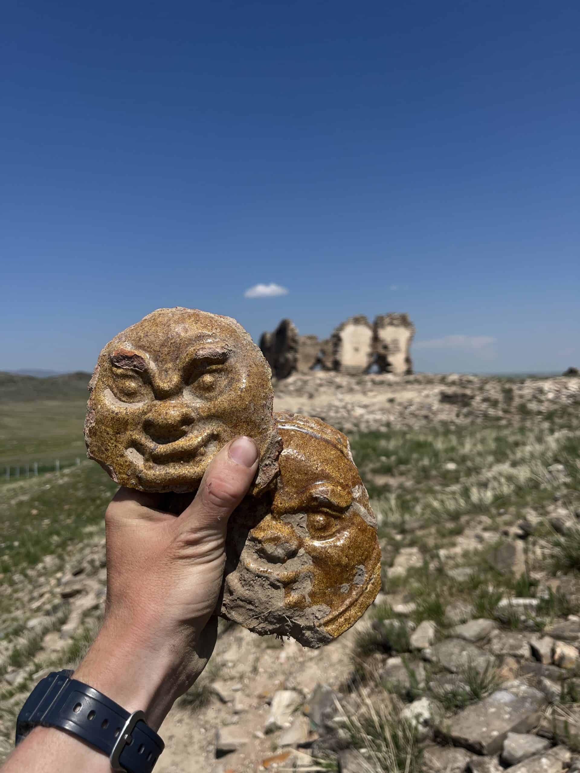
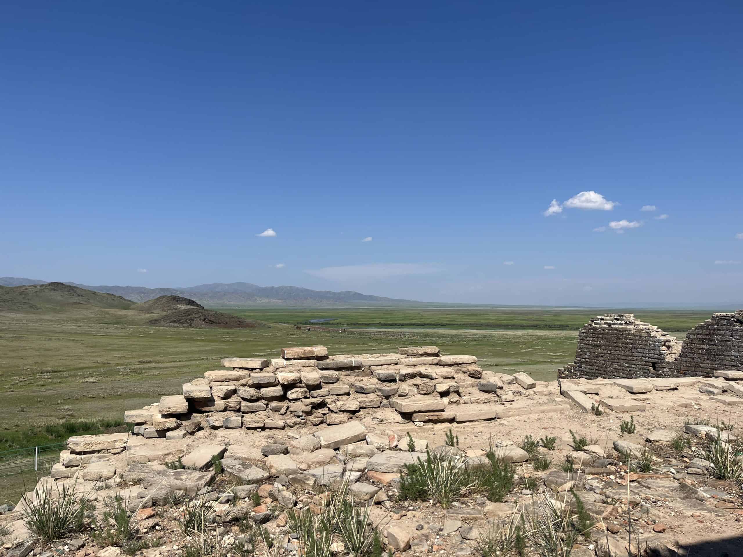
Some interesting locations are almost impossible to find without checking satellite images first. Planning in this way can make your riding days a lot smoother. I once spotted what looked like ruins while just messing around on Google Satellite. Turned out to be a 16th century monastery in the middle of nowhere. An amazing spot to camp overnight.
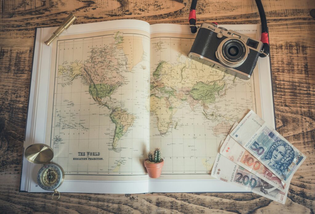
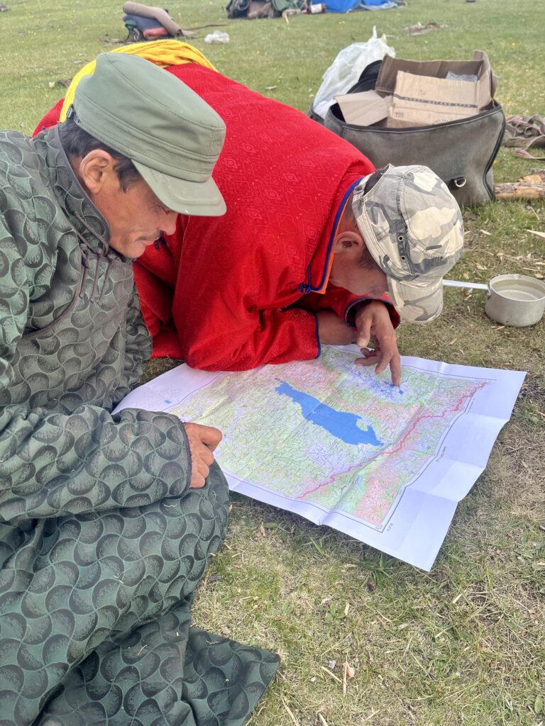
Why a Paper Map Still Helps
Even with modern technology, having a paper map as backup is still a good idea.
A physical map gives you:
- a better overview of distances and the area
- backup navigation if your phone fails
- confidence in remote areas
- and honestly, it’s just cool to have
Detailed printed maps are available in outdoor shops and bookstores in Ulaanbaatar.
Quick Navigation Tips
- Start early so you have time to adjust
- Download offline maps before leaving Ulaanbaatar
- Don’t expect roads to match your map
- If a track disappears, don’t panic… just choose another one
- Trust direction more than exact routes
Related posts
- Fuel Planning in Mongolia
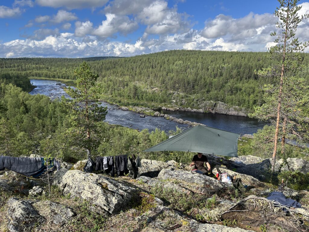
- Wild Camping in Mongolia
- Mistakes I Made Riding Across Mongolia
- Is It Possible to Ride a Motorbike Across Mongolia
Want More Detailed Navigation Tips?
In my full Mongolia Motorbike Guide, I explain:
- how I planned my route
- where I stayed
- which apps worked best
- navigation mistakes I made
- how terrain influenced daily decisions
- realistic riding distances
- practical preparation tips
If you are planning your own trip, this guide can help you travel with more confidence and save you many hours of research.
👉 Explore the Mongolia Motorbike Guide